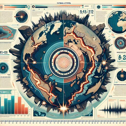
Earthquake Survey Reveals Largest Tectonic Activities This Year; How Is the Strength of Tremors Measured?
Every year, the earth’s surface is constantly shifting, often leading to hundreds of earthquakes globally on a daily basis. While many of these seismic events pass unnoticed due to their low magnitude—typically two or below—it’s the larger, more forceful ones, usually with a magnitude of six or above, that pose significant risks to communities, highlighting the critical nature of earthquake preparedness.
As the current year unfolds, seismic analysts have diligently outlined a series of significant earthquakes anticipated to occur globally, focusing exclusively on those with a magnitude of six or higher. This year, notable seismic events in Taiwan and Japan have drawn international concern, shedding light on the ever-present importance of understanding and preparing for earthquake impacts.
The geographical scope of these significant tremors stretches far beyond Taiwan and Japan, reaching locations such as Afghanistan, Brazil, Vanuatu, Macquarie Island, Papua New Guinea, Philippines, Tonga, China, Guatemala, and Indonesia. The U.S. Geological Survey (USGS) employs a rigorous classification to determine the significance of these earthquakes, incorporating factors like their magnitude, impacts reported through the USGS’s ‘Did You Feel It?’ feature, and the overall number of people affected.
Highlighting the severity of this year’s seismic activity, a devastating magnitude 7.5 earthquake hit Japan’s Noto Peninsula on January 1, followed by another significant event—a magnitude 7.4 quake—south of Hualien City in Taiwan on April 2. These events have not only prompted a closer examination of current earthquake preparedness practices but have also underscored the unpredictable nature of seismic disasters. The Noto Peninsula quake was particularly destructive, causing the first major tsunami warning in Japan since the tragic 2011 Tohoku earthquake and tsunami, and leading to considerable damage and loss of life in affected communities. Meanwhile, the Hualien tremor marked Taiwan’s most substantial seismic event in over two decades, emphasizing the urgency for enhanced research and preparedness in potentially affected regions.
Japan’s positioning along the Pacific Ring of Fire—an area prone to frequent seismic and volcanic activity due to the movement of tectonic plates—makes it particularly vulnerable to earthquakes. The country experiences approximately 1,500 earthquakes annually, though most are barely felt. However, events such as the Noto Peninsula earthquake serve as stark reminders of the potential for significant damage and the necessity for early warning systems and comprehensive emergency planning.
In Taiwan, the Hualien earthquake prompted an immediate response from the scientific community, calling for a detailed examination into the mechanisms of such high-magnitude tremors and their long-term impacts on the landscape, including permanent ground deformations resulting from fault movements. These deformations can radically alter the natural environment, affecting everything from landforms to water drainage systems, and are critical for understanding and mitigating earthquake risks.
To fully grasp the nature and implications of seismic activities, understanding how earthquakes are measured is crucial. The moment magnitude scale, which uses a mathematical formula to convert the energy released by an earthquake from seismometer data into a magnitude number, is widely used for this purpose. Each increase in whole number on this scale represents a roughly 31-fold energy release increase from the previous number, helping scientists quantify the energy dynamics of tremors accurately.
Conversely, the Modified Mercalli Intensity scale assesses an earthquake’s impact through damage reports and eyewitness experiences, offering a more subjective measure of the earthquake’s effects on human structures and lives. This scale is particularly useful for gauging the severity of shaking in various locations, highlighting the diverse ways in which earthquakes can be analyzed and understood.
In light of this year’s seismic activities and their aftermath, the importance of comprehensive earthquake preparedness and robust scientific research has never been more evident. As communities worldwide continue to grapple with the challenges posed by these natural disasters, the pursuit of knowledge and the implementation of effective safety measures remain paramount in safeguarding lives and properties against future seismic events.


Leave a Reply