

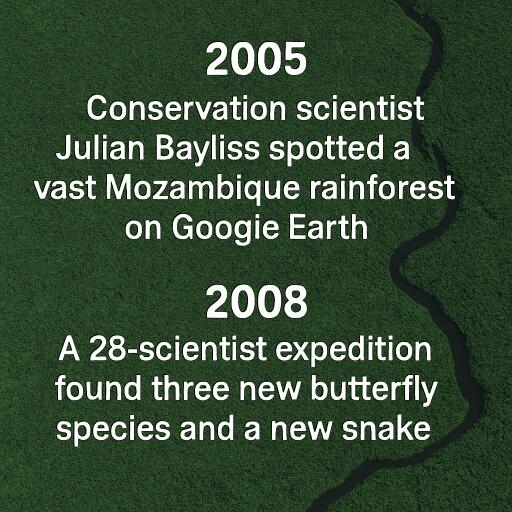
In 2005, conservation scientist Julian Bayliss spotted a vast Mozambique rainforest on Google Earth; in 2008, a 28-scientist expedition found three new butterfly species and a new snake
In the mid-2000s, a conservation scientist scanning satellite imagery noticed something unusual in northern Mozambique: a broad green mass draped across a mountain landscape, far larger and denser than expected. What appeared at first to be an unexplained patch of vegetation turned out to be one of southern Africa’s most remarkable hidden forests.
That mountain was Mount Mabu. After follow-up visits confirmed the site held extensive wet forest, a major scientific expedition was organised in 2008. What the team found exceeded expectations: a biologically rich rainforest in excellent condition, home to species rarely seen elsewhere, including three butterfly species previously unknown to science and a newly identified venomous snake.
The discovery became a striking example of how modern mapping tools and traditional fieldwork can work together. A digital image provided the first clue, but the true significance of the forest only emerged once scientists entered it on foot.
A rainforest revealed from space
The story began with a search for mountain habitats that might hold conservation value. By studying satellite images of northern Mozambique, researchers were looking for elevated areas likely to receive enough rainfall to support moist forest. In mountainous regions, altitude can create cooler, wetter conditions that allow unusual ecosystems to persist even when surrounding lowlands are much drier.
Among several green areas visible on-screen, one stood out. It covered a large section of upland terrain and appeared far more expansive than expected. From a computer, there was no way to know whether the canopy concealed natural forest, regrowth or planted woodland. But the pattern was intriguing enough to justify a closer look.
Reconnaissance trips eventually led the team to Mount Mabu. Once there, they found not a small fragment of woodland, but a vast and largely intact rainforest stretching across the mountain. It had remained mostly absent from scientific surveys and poorly represented on modern maps, even though nearby communities knew the landscape well.
The 2008 expedition
With the forest confirmed, an international expedition was assembled in October and November 2008. The team included 28 scientists and support staff from several countries, all working through difficult terrain to document a place that had barely been studied.
Field research in such an environment is slow, physical and highly methodical. Equipment, food, specimen containers and notebooks must all be carried into remote camps. Every plant, reptile, bird or insect has to be recorded carefully, often in humid conditions and on steep slopes. In Mount Mabu, nearly every observation mattered because the ecosystem was still so poorly known.
The mountain’s isolation immediately suggested strong potential for biological surprises. Forests cut off from other habitats over long periods often develop distinctive communities, with species adapted to specific temperatures, plants, streams or layers of vegetation.
New species in a hidden ecosystem
The expedition confirmed Mount Mabu as an important centre of biodiversity. Researchers documented a wide variety of life, including birds, reptiles, orchids, butterflies and more than 500 plant specimens collected for further study.
The standout discoveries were three butterfly species never formally recorded before and a previously unknown species of adder. These finds showed that the mountain was not merely species-rich; it also sheltered animals that had escaped scientific recognition altogether.
Scientists also encountered pygmy chameleons and other highly specialised forest creatures. Such animals are especially significant because they often depend on very narrow habitat conditions. Their presence suggests the forest contains a complex mosaic of microhabitats rather than one uniform block of vegetation.
A short expedition can only capture part of the full picture, so the findings also hinted that Mount Mabu may hold even more undocumented species. In remote rainforests, the first survey often opens the door to years of further ecological work.
Why isolation matters
Mount Mabu’s ecological value is tied to its geography. Its elevation helps generate rainfall and cooler conditions, creating a moist refuge in a broader region where natural forest has often been reduced or fragmented. As one climbs the mountain, shifts in humidity, temperature, soil and light create different ecological niches.
Over time, animal and plant populations isolated on such mountains can diverge from their relatives elsewhere. A butterfly may evolve around a specific host plant found only at a certain height. A reptile may depend on leaf litter conditions unique to one slope. Given enough time, these adaptations can produce species found nowhere else.
This is why isolated mountains are so often compared to ecological islands. Though surrounded by land, they can function like separate worlds.
Technology found it, field science explained it
One of the most compelling aspects of the Mount Mabu story is the partnership between remote sensing and ground exploration. Satellite images can reveal patterns in vegetation cover, moisture and land use across huge areas. They are ideal for spotting anomalies—a forest where no forest was expected, or a green mountain hidden in a patchy landscape.
But images alone cannot identify species, judge ecological condition with certainty or explain how an ecosystem works. Only field research can confirm whether a green shape on a map is a plantation, secondary growth or ancient rainforest.
Mount Mabu showed that conservation technology is most powerful when it guides people to places that still need direct observation. The satellite image raised the question; the expedition delivered the answer.
A forest protected by remoteness
One reason the rainforest persisted for so long was its inaccessibility. Poor transport links and decades of upheaval in the wider region made the mountain difficult to reach. That isolation reduced pressure from logging, large-scale farming and infrastructure development, allowing the forest to remain in unusually good condition.
Yet remoteness is only a temporary shield. As economic activity expands and communities rebuild or return to surrounding areas, forests like Mount Mabu can quickly become vulnerable to timber extraction, charcoal production, farmland expansion and road building.
For conservationists, that creates a paradox: scientific discovery can help save a place, but public attention can also increase pressure on it if protection does not keep pace.
Conservation beyond the headline discoveries
The importance of Mount Mabu goes far beyond four newly identified animals. The forest is an interconnected system in which trees, understory plants, fungi, insects, birds and reptiles all depend on one another. Remove part of that structure and many species can disappear, even if fragments of forest remain standing.
Protecting such a place requires more than celebrating rare wildlife. It means safeguarding the habitat as a whole while also recognising the needs and knowledge of local communities. Long-term conservation works best when nearby residents are included in decisions and when scientific research strengthens local capacity rather than operating from outside alone.
Mount Mabu’s story is ultimately about attention: the attention to notice an unexplained feature on a digital map, to test that observation in the field, and to recognise the value of a forest before development strips away its uniqueness.
What began as a mysterious green patch became one of the most memorable conservation discoveries of its era. It was a reminder that even in an age of satellites and global datasets, parts of the natural world can still remain hidden—until someone decides to look closer.



Leave a Reply