Satellite Imagery Links Tsunami Impact to Health
When a tsunami tears across a coastline, the damage isn’t confined to buildings and roads. A new wave of research shows that the reshaping of land itself—what grows, what floods, what turns salty—can be read from space and linked to the health of people living through the aftermath. By blending high-resolution satellite imagery with neural networks, scientists are tracing how the ecology of disaster translates into disease risk, mental stress, and access to essential services, offering a far sharper picture of recovery needs.
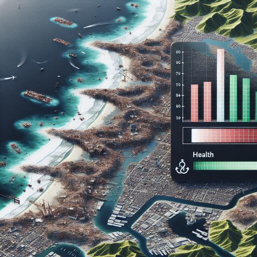
Satellites map the aftermath in fine detail
Modern earth-observing satellites capture the tapestry of coastal change with remarkable precision—from vegetation thinning and lost mangrove fringes to altered river channels, ponding, and damaged urban grids. Sequencing images taken in the days, weeks, and months after a tsunami turns the disaster zone into a time-lapse map. This approach moves far beyond the traditional reliance on patchy ground surveys, enabling rapid, large-area assessments without losing street-level nuance.
AI reads environmental signals
Neural networks—trained on multispectral data and other geospatial layers—excel at spotting subtle patterns invisible to the human eye. They can distinguish crop fields laced with saltwater from healthy farmland, identify green cover reductions that intensify heat and stress, and detect shifts in water bodies that signal heightened exposure to waterborne disease. By pairing these land cover changes with public health indicators, the models reveal strong associations between the environment’s recovery and people’s well-being. Rigorous validation against available ground observations boosts confidence in the results while acknowledging that correlation does not always imply causation.
The hidden health costs of altered landscapes
Some of the most powerful signals link modest ecological changes to outsized health impacts:
- Thinned or damaged mangroves: Loss of natural coastal buffers is associated with higher incidence of gastrointestinal and skin infections and increased psychological distress, likely as communities face repeated flooding and livelihood disruption.
- Salinized cropland: Saltwater intrusion compromises food production and household income, correlating with malnutrition risks and prolonged mental strain.
- Depleted urban green space: Reduced tree cover and park access are tied to heat stress, poorer air quality, and diminished opportunities for recovery and social support.
- Altered drainage and stagnant water: Expanded mosquito habitat raises concern for vector-borne diseases, compounding the burden on local clinics.
Conversely, places that retained or quickly restored key ecological features—especially mangroves, wetlands, and riparian vegetation—showed stronger health resilience and quicker rebounds in essential services.
Pinpointing where help is needed most
By overlaying environmental disruption with health and service access indicators, responders can target interventions with greater precision. This includes prioritizing water and sanitation upgrades in areas flagged for persistent contamination, directing mental health support to neighborhoods with severe landscape degradation, restoring green buffers where flood exposure remains high, and routing mobile clinics to communities where damaged roads and bridges restrict access to care. The result is a tighter alignment between ecological repair and public health response—an efficiency gain that matters when resources are stretched thin.
Impacts that linger long after the waves
The satellite record makes clear that disaster recovery is not a straight line. Soil salinity may persist well into subsequent growing seasons, vegetation regrowth can stall in pockets of chronic inundation, and service restoration may lag where infrastructure repeatedly floods. The health implications echo these timelines, with some risks peaking months after the event. Continuous monitoring—rather than one-off assessments—enables adaptive decisions as conditions evolve, from shifting clinic locations to staggered replanting and drainage projects timed to seasonal cycles.
Technical precision—and global relevance
The neural models used in this work handle complex, multispectral inputs, isolating changes in vegetation health, moisture, and land use with high accuracy. That precision supports adaptation to different coastlines and hazard types, from tsunamis and storm surges to compound flooding. As climate change amplifies these extremes, a standardized, scalable toolkit for linking environmental signals to health outcomes becomes indispensable for preparedness and recovery planning.
Guardrails for responsible use
Harnessing AI and remote sensing alongside health data demands careful governance. Communities should be engaged in how findings are interpreted and applied; privacy protections must be strong and enforceable; and analytic transparency is essential to build trust. Equitable access to data, training, and tools will determine whether these insights help close or widen existing gaps in disaster response.
From coastlines to policy
The policy implications are direct:
- Invest in open, frequent satellite observations and local capacity to analyze them.
- Integrate ecological indicators—mangrove extent, salinity hotspots, urban heat signatures—into health surveillance and early-warning systems.
- Prioritize nature-based defenses in recovery funding, pairing them with targeted health services.
- Establish pre-disaster baselines so post-event changes can be quantified quickly and credibly.
- Foster collaboration across environment, health, and infrastructure agencies to act on shared data streams.
The big picture
The message from space is unmistakable: the state of the landscape after a tsunami is not background—it is a determinant of health. Pairing high-resolution satellite imagery with neural networks makes those connections visible, measurable, and actionable. As coastal risks intensify in a warming world, preserving and restoring natural buffers, tracking land cover recovery, and aligning ecological and health interventions can turn the tide toward more resilient, healthier communities.


Leave a Reply