Why 100-year storms are hitting Korea harder, and more often
On July 17, 2025, a massive landslide caused devastation in Yesan’s Bongsan Township, South Chungcheong Province. An unprecedented torrential downpour occurred in Seosan, another city in South Chungcheong Province. This deluge resulted in 114.9 mm (4.5 inches) of rainfall within just one hour from Wednesday night into Thursday. By 11 am Thursday, the accumulation reached a staggering 518.9 mm (20.4 inches), accounting for almost 40% of the yearly precipitation in just one event. Such deluges are meant to be centennial.
According to the Korea Meteorological Administration (KMA), “Heavy rainfall exceeding 80 mm per hour ensued in the Chungcheong region due to a stagnant low-pressure zone created by the clash of warm and humid air from the south and cold, dry air from the north.”
The KMA clarified that this unprecedented rainstorm was primarily concentrated around the Chungcheong region due to the “continued influx of warm and humid air trapped between the contrasting air masses into South Chungcheong area.”
Moreover, low-level jets at an altitude of about 1.5 km above the confluence of these air pockets exacerbated the rainfall by infusing a large quantity of water vapor.
“When two air masses of equivalent strength collide, convective clouds tend to stay in one area for an extended period,” stated Gong Sang-min, a forecast analyst. “Forecasting these localized phenomena remains a substantial scientific challenge.”
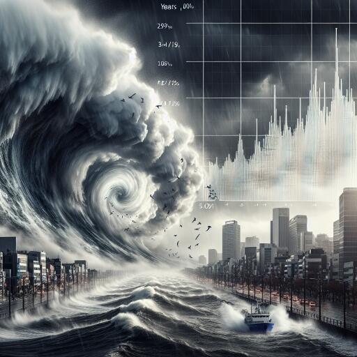
In recent years, there has been growing speculation about the rising intensity and frequency of such downpours. Seoul, for instance, has experienced years with significant rainfall on multiple days since the 1990s, an uptick compared to the 1980s.
Although it’s yet to be definitively concluded that the intensity or frequency of localized downpours has surged, some analyses hint at a perceptible upward trend.
Potential Links to Climate Change
The key question remains: What underpins these increasingly frequent torrential downpours? Is climate change playing a role?
The answer remains complex. At present, making a direct connection to climate change is still a matter of scientific debate, as explained by a prominent atmospheric science professor from Kongju National University. Ongoing research may shed light on this in due course.
Nonetheless, some analysts believe that the rising sea surface temperatures surrounding the Korean Peninsula could be influencing the intensity and frequency of the localized downpours.
As sea surface temperatures increase, warmer low-level jets interact with colder upper atmospheric air, escalating the risk of intense rain showers. Over recent decades, the sea surface temperature in the waters surrounding Korea has notably increased. With warmer air from the surface interacting with cooler upper atmospheric air, vigorous fluctuations emerge, potentially leading to torrential rain events.
Over the last half-century, particularly from 1968 to 2017, the East Sea has seen temperature increases between 0.70-2.09 degrees, the West Sea between 0.25-2.45 degrees, and the southern sea by up to 1.86 degrees. Comparatively, global sea surface temperatures have risen by 0.56 degrees on average.
Additionally, the role of increased water vapor in the atmosphere as a contributor to torrential rains cannot be ignored. Credit is given to the gradual rise in moisture drawn from the South China Sea and Western Pacific. This growing moisture content could be setting the stage for more frequent and intense rainfall.
Still, while increased atmospheric moisture is a prerequisite for more rain, it needs to ascend to upper atmospheric levels to condense into clouds. The specific mechanisms causing localized moisture rises and subsequent rain concentration remain elusive.
As we continue to grapple with these weather extremes, it becomes more crucial than ever to deepen our understanding of their driving forces. Striving toward robust scientific insights, targeted adaptation strategies, and informed policymaking will be essential in navigating the challenges posed by such intense weather events in the future.


Leave a Reply