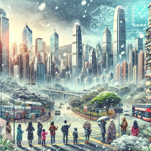
Online speculation of rare Hong Kong snowfall in January met with scepticism by weather officials
Talk of snow dusting Hong Kong in mid-to-late January has raced across social media, fuelled by screenshots of a popular European weather model displaying deep blues and purples—colors that, to the untrained eye, can look like a promise of near-freezing air brushing southern China. Some posts even revived memories of the notorious cold snap a decade ago, when icy conditions on Tai Mo Shan briefly turned the city’s highest peak into a frost-coated spectacle.
But meteorologists are urging caution: a striking chart is not a forecast, and the likelihood of flakes floating over Victoria Harbour remains extremely low. Local weather officials say current projections point to a routine winter cool-down rather than anything resembling the sustained, deep cold necessary for snowfall at sea level.
Officials cool the buzz
Hong Kong’s weather service notes that a reinforcement of the northeast monsoon is expected to reach the South China coast in the week beginning 12 January, bringing noticeably cooler and drier air. Even so, its short-range outlook shows no sign of temperatures plunging anywhere close to what would be needed for snow. For wintry precipitation to occur, the atmosphere must be cold through a deep layer—well below freezing aloft—with additional support from strong upward motion. None of that appears in the official forecast window.
In other words, while residents should prepare for a chilly spell, especially in the mornings and evenings, the city’s typical winter pattern—cool, breezy, and sometimes biting when damp—remains the more likely scenario.
Why one model run can mislead
Part of the online frenzy stems from snapshots of a single run of a global forecasting model, which suggested a potent continental cold surge could spill southward. Meteorologists emphasize that such long-range outputs can swing dramatically from one cycle to the next. A single depiction—particularly one shared without context about uncertainty—offers, at best, a tentative “what if,” not a dependable prediction.
Two issues commonly trip up casual interpretation. First, color scales on model maps are calibrated for wide regions; hues that look ominous for southern China might reflect values more relevant to inland plateaus or high elevations. Second, deterministic runs don’t show the spread of possible outcomes. Ensemble guidance, which blends many runs to convey probabilities, typically paints a more modest picture for extreme cold so far south this month.
Memories of 2016—and why this time looks different
The chatter has revived stories from the severe 2016 cold wave, when conditions on Tai Mo Shan dropped well below freezing and frost formed across the summit. That event, however, was an outlier built on a rare combination: a powerful surge of continental air, strong radiational cooling, and topographic effects that allowed the peak to decouple and chill rapidly. Current forecasts do not indicate a similar cocktail of ingredients. Even if hilltops turn brisk, the lowlands are expected to stay solidly above the thresholds that would threaten pipes or produce wintry precipitation.
What residents can realistically expect
- Cooler, drier conditions driven by a renewed winter monsoon.
- Noticeable day–night swings, with mornings and nights feeling crisp—especially in the New Territories and on exposed hills.
- That familiar “wet cold” sensation if humidity creeps up, making temperatures feel harsher than the numbers suggest.
Practical preparation—layered clothing, wind protection on higher ground, and attention to indoor ventilation to reduce damp—will go farther than betting on a once-in-a-decade freeze.
Cold snaps in a warming world
It can seem counterintuitive that a warming climate still permits bouts of winter chill. Yet variability remains part of the seasonal rhythm, even as average temperatures trend upward. For coastal cities like Hong Kong, maritime influences, urban heat retention, and local topography complicate how cold air masses behave. The result: cold spells still arrive, but true snow-making setups remain exceptionally rare at low elevation.
Bottom line
Exciting weather charts make for viral posts, but credible forecasts come from a blend of observations, model ensembles, and expert interpretation. As of now, the signal points to a standard January cool spell—not a historic freeze. Residents should keep an eye on updates from the city’s weather service for the most reliable guidance and plan for ordinary winter chill rather than extraordinary flurries.


Leave a Reply