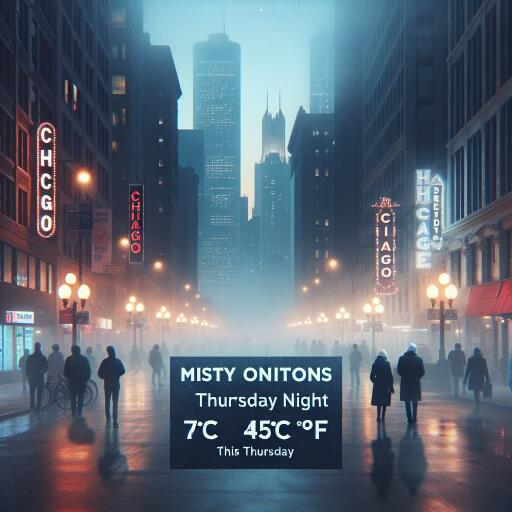
Chicago Weather Update: Misty Conditions and 7°C (45°F) Expected This Thursday Night | Weekly Voice
A quiet, moisture-laden night has settled over Chicago late Thursday, with the thermometer holding at 7°C (45°F). The air is nearly saturated and still, producing a blanket of mist that trims visibility and lends the city a subdued, wintry hush. Conditions are expected to remain cool and damp through the overnight hours.
Current Conditions at a Glance
- Temperature: 7°C (45°F)
- Humidity: 97%, near saturation
- Wind: Calm, no measurable speed
- Visibility: Poor due to mist; localized fog possible
- Pressure: 1018 mb and rising
The near-calm winds are central to tonight’s setup. With little air movement and very high humidity, water vapor condenses close to the surface, forming persistent mist and patchy fog. This is a classic recipe for reduced visibility, especially along open stretches of roadway, near parks, and in low-lying areas. The high moisture content also amplifies the chill, making the air feel clammy despite temperatures hovering in the mid-40s Fahrenheit.
Travel and Outdoor Impacts
Drivers, cyclists, and pedestrians should prepare for visibility that can drop quickly from block to block. Dim or diffused street lighting, misted windshields, and moisture on road surfaces may lengthen stopping distances and reduce reaction time. Use low-beam headlights, slow down on bridges and ramps where condensation can linger, and allow extra space between vehicles. Public transit riders may experience slower operations in some corridors as visibility changes.
The stillness of the air means sounds carry farther and pollutants disperse more slowly. Individuals sensitive to air quality—such as those with asthma—might notice discomfort when exerting outdoors, even though the air may smell clean. Consider limiting strenuous activity outside until conditions improve.
Why Tonight Feels So Damp
With humidity at 97% and virtually no wind, the atmosphere is near its dew point, allowing fine droplets to hang in the air. This mist differs from heavy fog mainly in density and extent, but the effect on visibility can be similar. The sensation of cold is sharpened by the moisture, which draws heat away from the skin and dampens clothing and surfaces.
Pressure on the Rise: What That Could Mean
Surface pressure around 1018 mb is edging upward, a sign that the atmosphere is stabilizing. While this doesn’t guarantee rapid clearing, it often precedes a gradual improvement in visibility as the night wears on or into the following day. Any changes will hinge on whether winds pick up enough to mix out the near-surface moisture.
Practical Tips for Tonight
- Allow extra travel time and keep headlights on low beam in mist and patchy fog.
- Keep windows clear—use defogger settings to manage condensation inside the vehicle.
- Wear a lightweight, water-resistant layer to stay comfortable in the clammy air.
- If exercising outdoors, consider a shorter, gentler routine and avoid high-traffic corridors where emissions can accumulate in still air.
Big-Picture Context
Nights like this highlight the interplay between moisture, temperature, and wind in urban environments. Calm, humid conditions can trap both heat and emissions near the surface, shaping local air quality and visibility. While this is a familiar late-cold-season pattern for Chicago, it underscores how small shifts—such as a breeze developing or drier air moving in—can quickly change how the city feels and functions after dark.
For now, expect a cool, damp, and subdued end to Thursday, with mist and poor visibility as the defining features. As pressure continues to rise, forecasters will watch for subtle improvements into the next day, especially if light winds develop to disperse surface moisture.


Leave a Reply