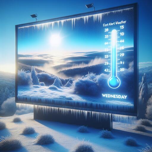
First Alert Weather: Freezing temps Wednesday morning
Winter’s grip tightens across central Alabama as a stubborn deck of clouds keeps the sky gray and the air chilled. Even with some cloud cover acting like a blanket, plan on a hard dip below freezing at daybreak Wednesday. Many communities will wake to the upper 20s and low 30s, with frost widespread.
Tonight into Wednesday morning
Clouds linger overnight, limiting how far temperatures fall in a few spots, but the freeze line still pushes south by sunrise. Expect icy windshields and crunchy lawns as you head out early. Sensitive vegetation and exposed pipes need protection.
Wednesday: Brief breaks, but still cold
Some sun may filter through at times, yet the day stays on the chilly side. Afternoon highs struggle to escape the upper 40s, and any light breeze will make it feel colder. Dress in layers if you’ll be outdoors for long stretches.
Late Wednesday night through Friday: A raw, wet stretch
Clouds thicken again Wednesday night, with another light freeze possible before dawn Thursday, especially across northern counties. Early Thursday (roughly 5–9 a.m.), the far northwestern corner of the region could see a quick burst of sleet or brief freezing rain. Any wintry mix should be short-lived as surface temperatures climb above freezing, transitioning to a cold rain by mid-morning.
Thursday stays gloomy—cold, cloudy, and damp—with showers around at times. Another wave of rain builds Thursday night and continues through Friday. Widespread severe storms are not expected, but plan on slick roads, poor visibility at times, and a persistent chill. If you’re heading to championship games or holiday events Friday, pack rain gear and warm layers.
Weekend outlook
The weekend trends unsettled. Moisture lifts in from the southwest, supporting lingering clouds and occasional showers. The heaviest totals may fall to the south of the immediate area, but expect a murky, on-and-off rain pattern that could interrupt outdoor plans.
Why this matters: ecology and climate context
Early-season freezes are part of our normal variability, yet they carry consequences for backyard habitats and local wildlife. Rapid swings from mild days to hard freezes can stress pollinators overwintering in leaf litter and affect fall-planted native species. While a single cold snap doesn’t define the climate, the broader trend shows nights warming over the past decades across the Southeast. That means fewer freeze days on average—even as occasional sharp cold shots still occur. The current pattern reflects a classic setup: Gulf moisture streaming over cool surface air, promoting prolonged cloud cover and a raw, damp feel.
What to do now
- Protect the “4 Ps”: people, pets, pipes, and plants. Cover outdoor faucets and bring pets inside.
- For gardens and native plantings, add mulch around roots to buffer sudden temperature drops.
- Allow a few extra minutes Thursday morning in far northwestern areas; elevated bridges could be briefly slick before temperatures rise.
- Plan for rain-soaked commutes Thursday and Friday; keep headlights on in showers and leave extra stopping distance.
- Conserve energy during the cold snap: seal drafts, close curtains at night, and set thermostats to efficient levels if safe.
At a glance
- Tonight: Cloudy and cold; widespread freeze by dawn (upper 20s to low 30s).
- Wednesday: Limited sun, highs in the upper 40s; cold all day.
- Late Wed night–Thu morning: Another light freeze north; far northwest may see a brief wintry mix 5–9 a.m., then rain.
- Thursday: Raw, cloudy, damp; periods of rain.
- Thu night–Friday: Additional rain; chilly, no severe weather expected.
- Weekend: Cloudy with occasional showers; heavier rain likely south of the area.
Bottom line: Prepare for a freeze early Wednesday, a stubborn chill through midweek, and a cold, wet stretch from Thursday into the weekend. Keep rain gear handy and winterize now to protect homes, gardens, and the local ecosystems we share.


Leave a Reply