

BOM defends Spring forecast, but what value did it provide? – Beef Central
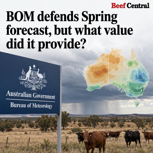
A seasonal forecast indicating a strong likelihood of dry conditions across eastern Australia has come under scrutiny after parts of Queensland experienced their wettest October on record.
The Bureau of Meteorology’s outlook, issued at the end of July, showed a 60–80 percent probability of below-median spring rainfall in several regions. However, this still implied a 20–40 percent chance of rainfall exceeding the median—not a guarantee of a dry season.
Conditions during August and September broadly supported the outlook, with rainfall well below average in many areas. The pattern changed sharply in October, when successive weather systems delivered more than twice the typical monthly rainfall across much of Queensland. The seasonal forecast performed better in parts of Victoria, New South Wales and Western Australia.
Seasonal guidance versus individual storms
The Bureau says long-range outlooks are designed to identify broad shifts in climate probabilities rather than predict individual rain-producing systems. Major events occurring over several days can substantially alter a three-month rainfall total, even though their timing and location cannot be resolved weeks or months beforehand.
According to the agency, roughly 40–60 percent of a seasonal outcome may be shaped by short-term atmospheric variability that long-range models cannot detect. October demonstrated that limitation: a relatively small number of high-impact systems transformed the rainfall result for the entire spring period in some districts.
The national forecaster produces its seasonal guidance with the ACCESS-S modelling system, which combines global observations with simulations of the atmosphere, oceans, land and sea ice. Monthly and seasonal outlooks are updated each week as climate conditions evolve.
Does a forecast still have value if it misses?
The central question for farmers is whether a three-month forecast remains useful when an unexpected wet spell can reverse the result.
The Bureau argues that verification over many forecasts shows its outlooks perform better than simply relying on historical averages. Their purpose is to support risk management by indicating when the odds have shifted toward wetter or drier conditions. They are intended to be used with shorter-range forecasts, warnings, local knowledge and other business-planning tools.
That distinction is important for agricultural decisions. A 70 percent chance of below-median rainfall may justify preparing for water or feed shortages, but it does not mean producers should assume rain will not occur. Treating probability maps as firm predictions can amplify financial risks, particularly when they influence livestock sales, planting choices or fodder purchases.
Private forecasting services have also expanded, with some offering alternative interpretations of global models. Certain providers anticipated a wetter period during October and November months in advance. Such competing guidance highlights both the demand for more practical information and the uncertainty involved in translating climate signals into local rainfall.
Communication remains a challenge
Seasonal outlooks have previously been criticised when dry-looking maps were followed by substantial spring rainfall. In agricultural regions, strongly coloured maps can be interpreted as declarations of what will happen rather than statements about relative likelihood.
The Bureau says it works with farmers and industry groups to explain long-range products and encourages users to check updates regularly. Nevertheless, clearer communication about uncertainty, forecast skill and possible alternative outcomes could help prevent probability-based guidance from being used as a deterministic prediction.
El Niño, the Indian Ocean and warmer seas
El Niño generally raises the likelihood of below-average rainfall in eastern Australia during winter and spring. It does not eliminate the possibility of heavy rain, because individual weather systems still control where and when precipitation falls.
A positive Indian Ocean Dipole may also affect rainfall patterns in the months ahead. At the same time, unusually warm oceans around Australia and across the globe are adding moisture and energy to the atmosphere. That can support heavier rainfall when suitable weather systems develop.
The outlook for the coming months is wetter than the earlier spring forecast, influenced by warm surrounding seas, natural year-to-year variability and longer-term climate trends. With ocean temperatures expected to remain elevated, rainfall systems may have access to greater atmospheric moisture.
For producers, the lesson is not that seasonal forecasts are worthless, but that their value depends on how they are interpreted. They are best treated as one layer of risk information—not as a substitute for updated forecasts, local observations or contingency planning.



Leave a Reply