Across China: Chinese researchers reveal how urban heat sources intensify extreme heat events
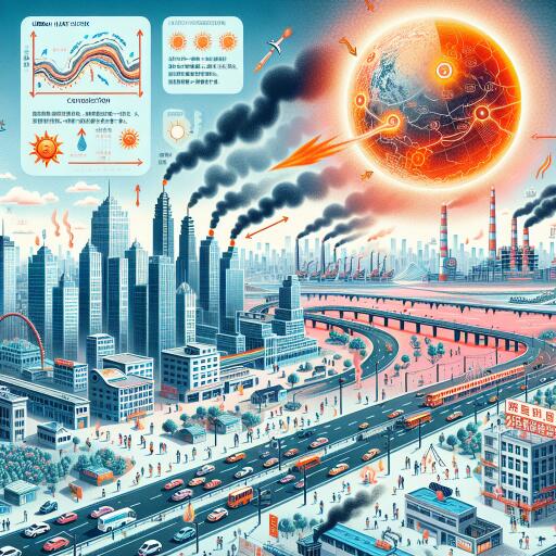
New analysis from a Chinese research team sheds light on how urban land surfaces energize the atmosphere and heighten the risk of extreme heat, especially when hot days cluster together. By tracking how heat is generated, stored, and released at the ground level across the country’s largest city clusters, the study explains why some regions are seeing more frequent bouts of punishing heat—even when the peak temperatures themselves are not always higher.
The researchers focused on “surface heat sources,” a term that captures how urban surfaces and human activity feed energy into the lower atmosphere. During urbanization, sealed surfaces such as concrete and asphalt absorb solar radiation, suppress evaporative cooling, and re-release heat later in the day and night. Combined with the waste heat from vehicles, industry, and buildings, this surface energy build-up can tip cities into dangerous heat conditions, particularly when hot spells occur back-to-back or overlap with high humidity—so-called compound heat events.
To better understand these dynamics, the team examined how surface heat sources change over space and time in four of China’s major urban clusters: the Beijing–Tianjin–Hebei region, the Yangtze River Delta, the Pearl River Delta, and the Chengdu–Chongqing metropolitan area. Their analysis looked at seasonal cycles, regional contrasts, and the ways geography and development patterns shape heat exchange at the land surface.
Across all four clusters, a clear rhythm emerged: surface heat sources strengthen markedly in summer and weaken in winter. Yet each region presents a distinct spatial fingerprint:
- Beijing–Tianjin–Hebei: Stronger surface heating tends to appear in the south, while the northern sector can flip into a seasonal heat sink in winter as surfaces lose more energy than they gain.
- Yangtze River Delta: The most intense ground heat sources align with river systems and associated low-lying terrain, while some large urban cores show comparatively lower surface heat levels—an imprint shaped by land cover, moisture availability, and urban form.
- Pearl River Delta and Chengdu–Chongqing: Each displays its own mosaic of heating and cooling influenced by coastlines or basins, surrounding topography, and dense development, underscoring the strong role of local geography.
These differences, the researchers argue, reflect the combined influence of topography, background climate, and the pace and style of urbanization. Water bodies, mountains, and valleys steer winds and moisture; greenery and open water enhance evaporative cooling; and compact, highly built districts amplify heat storage and anthropogenic heat emissions.
Crucially, the study distinguishes between how surface heat sources affect the frequency versus the intensity of extreme heat. As ground-level heat sources strengthen or expand, cities are more likely to experience a higher number of compound hot spells. However, the same changes exert a more modest influence on the peak intensity of those events. In practice, that means residents may endure more frequent stretches of hazardous heat—straining power systems, transport, and public health—even if absolute maximum temperatures do not always hit new records.
Why this matters for city planners and public health officials is straightforward: surface energy dynamics sit at the heart of urban heat risk. Integrating surface energy analysis into climate resilience planning can help identify where interventions will deliver the greatest cooling benefits and reduce the likelihood of back-to-back hot days. Key strategies include:
- Expanding blue–green infrastructure—urban trees, parks, wetlands, and restored waterways—to boost shade and evaporative cooling.
- Using reflective and permeable materials for roofs, pavements, and plazas to lower heat storage and improve stormwater infiltration.
- Preserving and designing ventilation corridors aligned with prevailing winds to disperse trapped heat.
- Targeting dense hotspots where anthropogenic heat is highest—industrial zones, major transport corridors, and high-rise clusters—with tailored efficiency measures and cooling solutions.
- Aligning heat–health early warning systems with the growing risk of compound events, not just single-day heat spikes.
The findings underscore that urban heat is not solely a matter of rising global temperatures; it is also a product of how cities are built and managed. As urban clusters continue to expand, the structure of the land surface—and the energy it stores and releases—will increasingly shape local climate risks. By diagnosing surface heat sources with high spatial resolution, cities can prioritize cooling actions that reduce exposure during the most dangerous stretches of summer.
In short, the study provides a clear takeaway: understanding and managing surface energy at the ground level is pivotal to curbing the growing frequency of extreme urban heat. This focus offers a practical path to make megacities more livable as climate change and rapid urbanization converge.


Leave a Reply